Delivering scalable, data-driven solutions for biodiversity and ecosystem management
About me



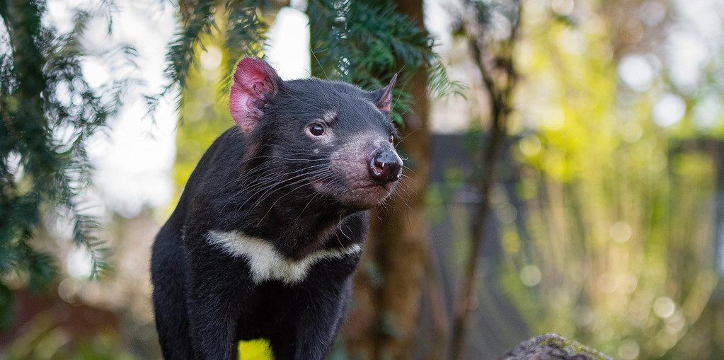


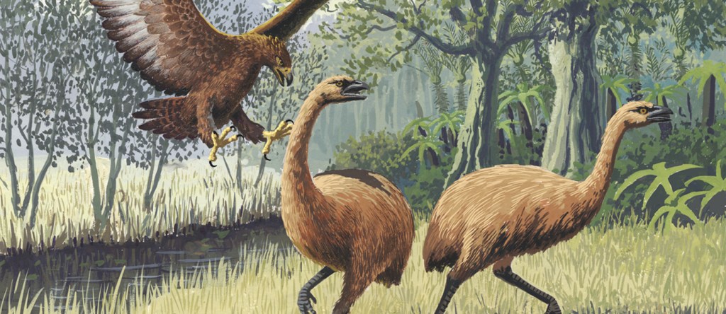

I am a multidisciplinary Spatial Scientist and Ecologist specialising in large-scale environmental monitoring. Blending geospatial engineering with high-performance computing, I use satellite, drone imagery, and fieldwork data to extract actionable insights from complex ecosystems.
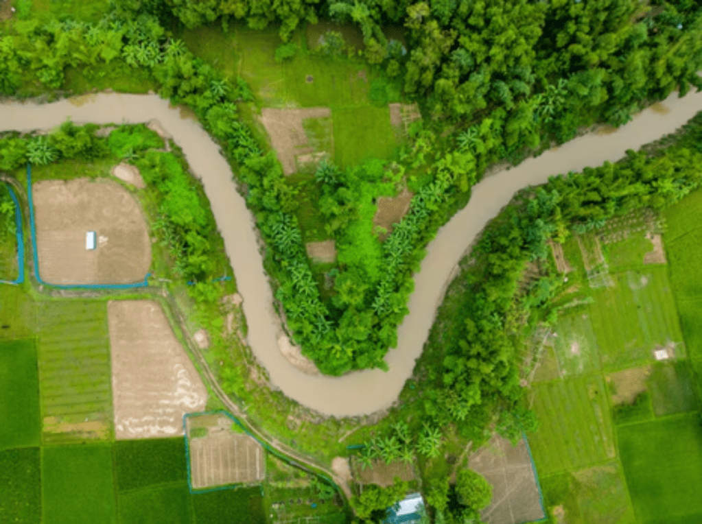
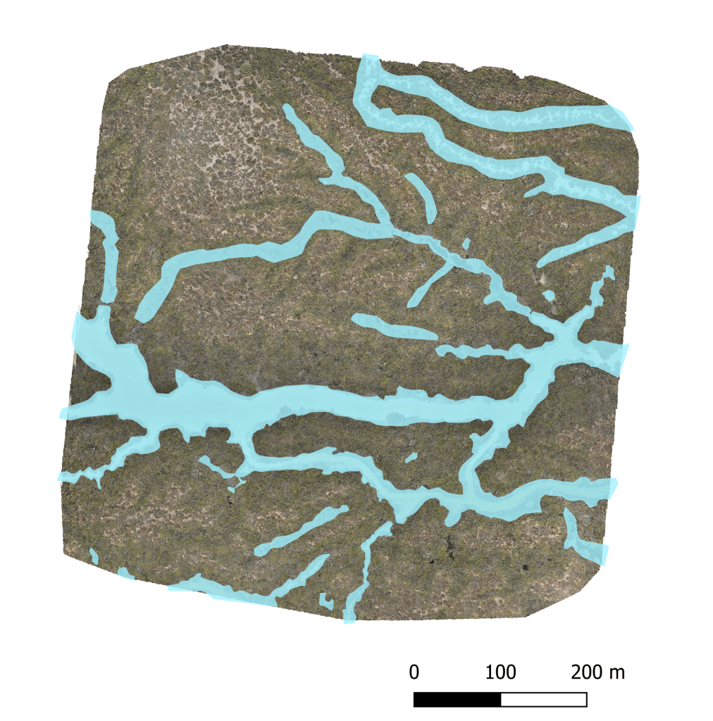
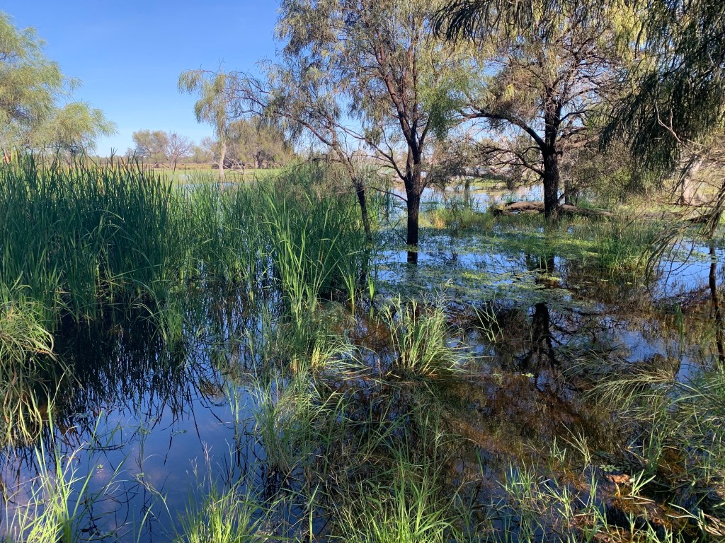
As a Spatial Environmental Scientist in the Water and Wetlands team at DCCEEW, I applied and refined spatial methods to model wetland inundation across the Murray–Darling Basin, collaborating with vegetation, waterbird, and frog monitoring programs to support water management.
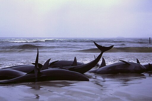
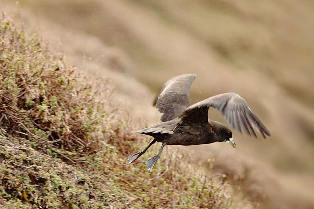
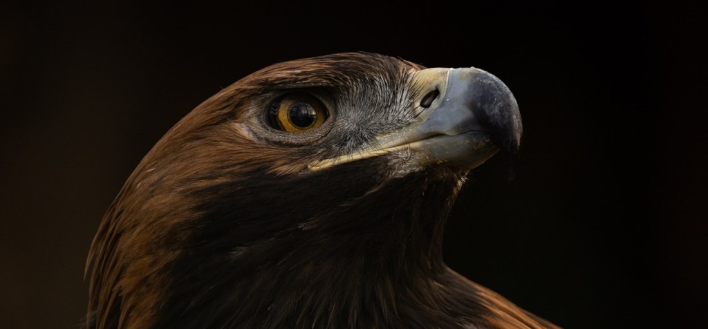
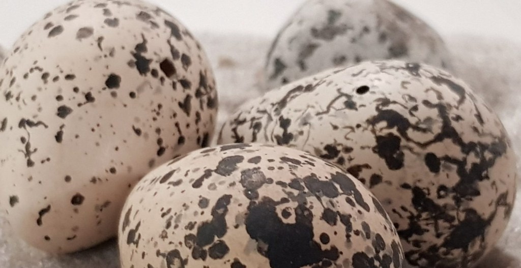
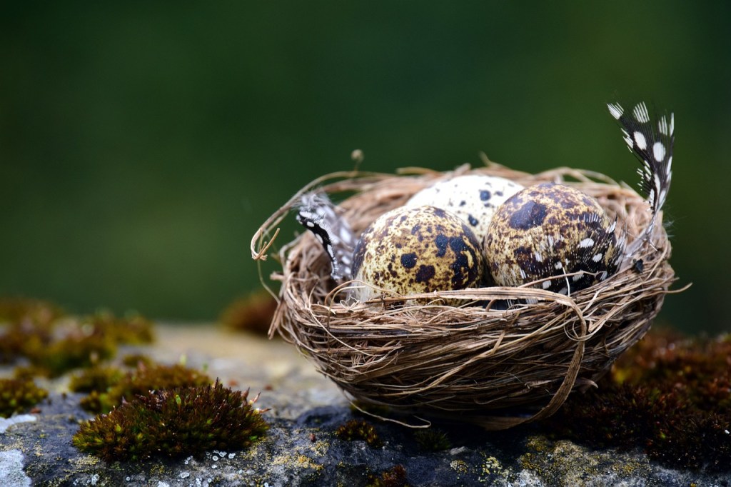
As a Remote Sensing Ecologist with the British Antarctic Survey’s Wildlife from Space team, I led projects using very high-resolution satellite imagery to monitor seabird colonies (emperor penguins, albatrosses and petrels) on some of the most remote islands on Earth—places where traditional research methods are often not feasible. Recently, I co-designed novel remote sensing methods to detect whale strandings from space. I have also led macroevolutionary studies on skull and egg morphology across thousands of species to quantify functional evolution at scale.
My research spanning spatial technology, biomechanics, and functional ecology leverages big data to answer key ecological questions and provide practical, evidence-based guidance for ecosystem management.
Research & Technical Interests
- Monitoring Wildlife & Remote Ecosystems: Assessing wildlife populations and inaccessible ecosystems using very high-resolution (VHR) satellite and drone imagery.
- Multi-Sensor Remote Sensing & Automated Pipelines: Developing scalable workflows that fuse drone, satellite, aerial, and field data for regional-scale spatial modeling and environmental monitoring.
- Environmental Time-Series & Trend Analysis: Extracting long-term ecosystem dynamics and regime shifts from historical imagery and high-frequency sensor networks.
- AI / ML Pipelines & Citizen Science: Designing annotation frameworks and crowdsourced data workflows to build training datasets for automated wildlife and habitat classification.
- Macroecology & Spatial Functional Traits: Using large-scale macroecological datasets to assess functional traits and species adaptations.
Recent Projects
Here are some of the exciting projects I’ve worked on at the Wildlife from Space Centre (British Antarctic Survey) and Water and Wetlands Centre (DCCEEW).
Spotting albatrosses from space: how citizen scientists and cutting-edge satellite imagery are helping track these iconic birds’ recovery—or decline—in the face of conservation efforts.
Become a penguin detective and help count Emperor penguins in Antarctica so that scientists can better understand how their populations are changing.
Revolutionizing seabird monitoring on South Georgia: exploring satellite imagery to track elusive species, map recovery post-rodent eradication, and replace costly ground surveys for remote islands worldwide.
Location
Sydney, Australia
Contact
marie.r.g.attard@gmail.com

